Sorry to be so slow, but here’s last month’s four-day bike adventure trip report.
Pittsburgh
Pittsburgh Trip
Dad and I paid a 53-year anniversary visit to the Pittsburgh Point on July 25th, remembering the 1963 visit by two young parents and four small boys. Both the Market Square and the 100-foot fountain are new since those days — this picture shows the view towards downtown, with the photographer’s back to the Point. We met three young women on bicycles there, enroute from the State of Washington to Washington DC. One of them took this photo, then another one took the shot of three of us.


 Some plans for that ride assume 83 miles a day, riding 40 days and totaling 3384 miles.


Above is the end of the Allegheny River and the start of the Ohio River, flowing away from us, under the West End Bridge and then on towards the Mississippi (at Cairo, Illinois, 981 miles). Looking the other way, below, we see the Fort Duquesne Bridge followed by the identical 6th, 7th, and 9th Street bridges (the latter three now renamed for Roberto Clemente, Andy Warhol, and Rachel Carson). There are said to be 446 bridges within the city.

Dad watches the two opposing cars of the Fort Duquesne Incline, looking from the Point with the end of the Monongahela River to his left and the start of the Ohio to his right. (See pictures of our previous day’s visit to Johnstown, including a ride on an incline there.)

This old photo from 1955 displayed in the park shows the two bridges I remember being there right at the Point. They were demolished in the early 60s. It also shows the start of construction of the Point State Park and the Fort Pitt Bridge across the Monongahela River.

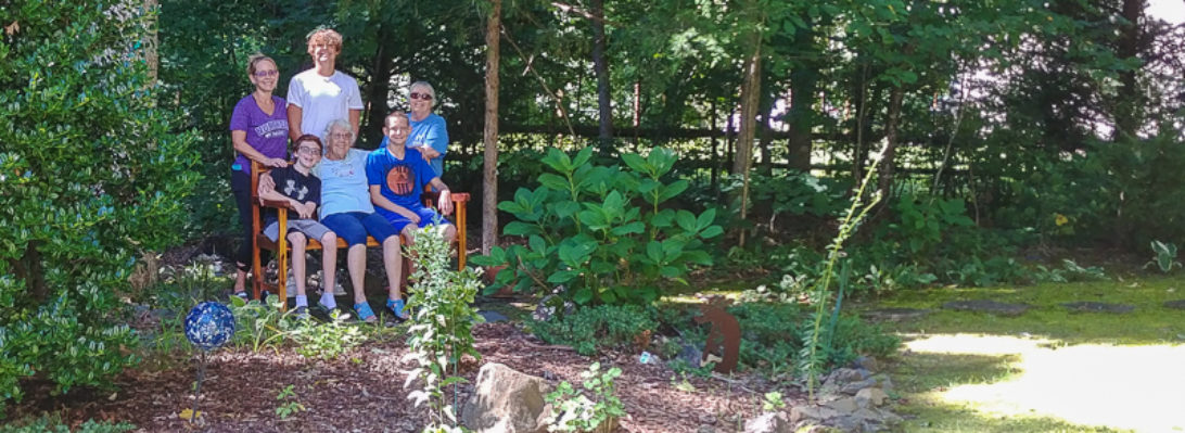
West Coast bikers depart Pittsburgh for DC
